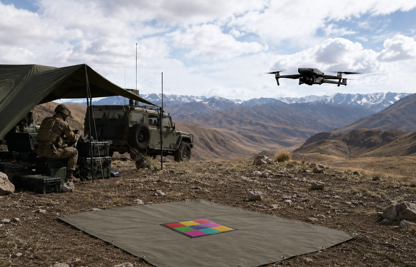

Israeli firm Sodyo is tackling a key hurdle in autonomous identification: enabling drones not only to see objects, but also to determine exactly what they are on the battlefield.
Its solution is RangeMark, a visual identification technology designed to detect passive markers within a drone’s field of view from up to 1 kilometer (0.62 miles) away.
It can decode each marker into a unique, machine-readable identity without relying on GPS, cellular service, radio-frequency signals, or network connectivity.
While conventional AI vision may recognize a rooftop, vehicle, or person, RangeMark is designed to identify the specific marked asset and determine whether an individual belongs to a friendly force.
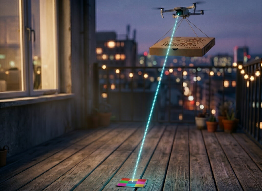
It supports Color Code, a high-density color format optimized for visible-light conditions, and Carbon Code, a two-tone format designed for more challenging visibility.
“RangeMark turns a marked point anywhere in the physical world into a point of certainty… with nothing but a camera and a printed marker, something no existing visual technology can deliver at that range,” said Alon Raz, chief executive officer of Sodyo.
“It took more than a decade of patented work to make it that simple. When a machine can be certain, it can be trusted to act on its own.”
The company showcased RangeMark at Commercial UAV Expo 2026.
Latest Flight Test
In recent flight testing, RangeMark detected a 100-centimeter (39-inch) marker from up to 500 meters (1,640 feet) away and a 50-centimeter (20-inch) marker from up to 250 meters (820 feet).
According to the company, it scanned for markers across a camera field of view covering approximately 20 hectares (49 acres).
Testing included hovering, transit, and search-pattern operations at speeds of up to 72 kilometers (45 miles) per hour.