Drone feeds, satellite imagery, and sensor data can all help soldiers understand the battlefield, but pulling that information together is another challenge.
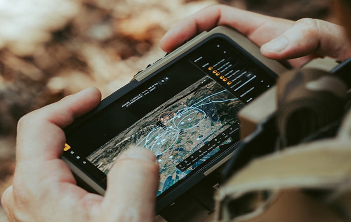
American defense firm Reveal Technology wants to make that easier with Farsight 2.0, a platform that brings data from multiple sources into a single, continuously updated 3D terrain model.
The model incorporates new information as it becomes available, giving operators access to up-to-date terrain imagery without relying solely on data they collect themselves.
This allows them to spend less time piecing together the operational picture and more time analyzing it.
Operators can also specify the information they need, with Farsight able to direct drones and manage data collection to reduce their workload.
A new secure data-sharing feature allows authorized US Army users to contribute information to the shared model, expanding the data available to other users.
The model can also be accessed and updated offline, allowing operators to continue working without a network connection.
User Availability
Farsight 2.0 will roll out to existing users, while newly fielded units are expected to receive it during initial installation.
The platform is compatible with hardware already used by US soldiers and is designed to integrate with the US Army’s soldier-worn battle-command system.
“Units have more imagery available than ever, but it’s scattered across sensors, networks, and organizations, and an operator planning a mission doesn’t have time to go find it all,” said Reveal CEO and Co-founder Garrett Smith.
“Farsight 2.0 brings every authorized source into one world model on the device. Our users asked for analysis from every source available to them, not just what they collected themselves, and that is what we delivered.”