
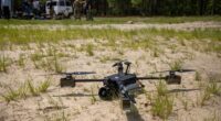
US firm MicroVision is giving unmanned aerial vehicles (UAVs) a new way to sense and understand their surroundings with its latest lineup of Light Detection and Ranging (LiDAR) sensors.
The product family comprises two variants: the lightweight MOVIA Air, optimized specifically for UAVs, and the more advanced MOVIA Air Plus.
Together, the sensors are designed for a range of applications, including intelligence, surveillance and reconnaissance (ISR), infrastructure inspection, emergency response, security operations, and autonomous delivery.
“The MOVIA Air product family gives customers… lightweight lidar solution that comes complete with the addition of a perception solution with onboard intelligence,” said Glen DeVos, chief executive officer of MicroVision.
“As demand grows for autonomous aerial logistics, defense applications, and intelligent inspection, we believe MOVIA Air positions MicroVision to address an exciting and rapidly expanding market.”
Lightweight by Design
The base model uses embedded software to support obstacle avoidance in complex environments, autonomous landing and following, and target tracking.
MicroVision has cut the sensor’s weight by 50 percent compared with its industrial version, allowing it to be integrated into aerial platforms without sacrificing payload capacity, flight endurance, or core sensing performance.
The sensor is also designed to maintain its sensing capabilities across different conditions, including both daytime and nighttime operations.
Real-Time 3D Mapping
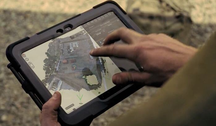
MOVIA Air Plus takes things further by combining onboard perception software with an edge processor and an optional camera to provide real-time environmental intelligence.
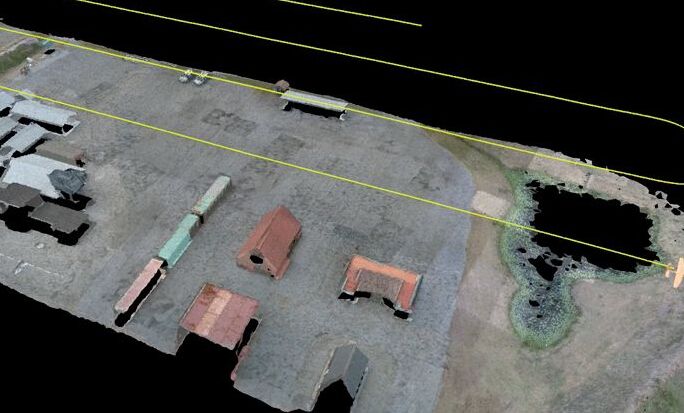
Instead of relying on workflows that require aircraft recovery and lengthy post-processing, the system processes sensor data in flight to create a real-time 3D picture of the surrounding environment.
According to MicroVision, the system also supports sensor fusion, simultaneous localization and mapping (SLAM), terrain understanding, and autonomous docking.
Set for Public Debut
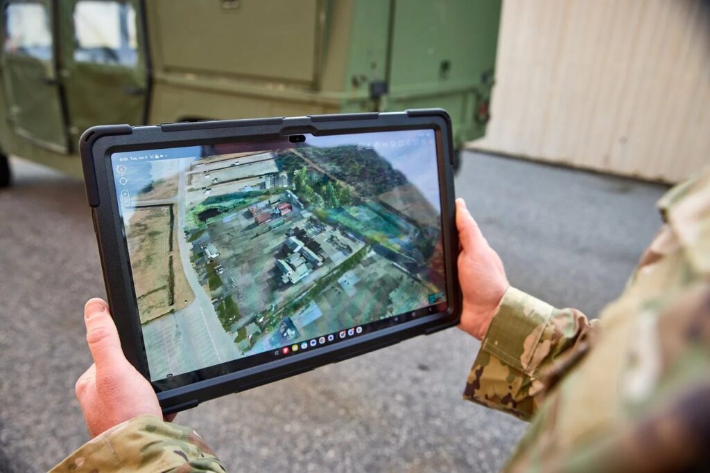
MicroVision plans to publicly demonstrate the technology at the upcoming Joint Interagency Field Experimentation (JIFX) event, where the system will showcase live perception and real-time 3D mapping.
The company will also demonstrate MOVIA Air integrated with additional aerial systems.
As a next step, the company will combine MOVIA Air data with its long-range IRIS LiDAR later this year to create a unified, real-time operational picture spanning both air and ground perspectives.