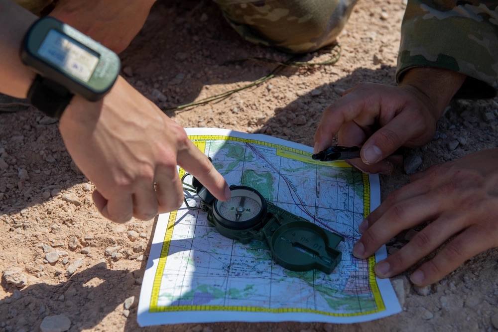

Years ago, Mario Paniccia was grappling with a problem that few outside aerospace or defense circles were talking about: What happens when GPS fails?
Not just losing signal in a canyon or tunnel, but full failure — jammed, spoofed by adversaries, or disrupted by dense foliage or towering buildings in downtown settings.
“The world has all been based on GPS,” he said. “But what happens when you lose it? How do you navigate?”
That question didn’t just linger. It became the founding premise for ANELLO Photonics, the Silicon Valley startup that Paniccia now leads as co-founder and CEO.
In this episode of Defense Disruptors, we speak with Paniccia about a future where autonomous systems, warfighters, and critical infrastructure can navigate confidently, even when GPS fails.

Are you building game-changing tech for defense? 💪
We’re always looking to feature innovators pushing the boundaries in autonomy, AI, energy, and beyond. If your company belongs in the Defense Disruptors spotlight, get in touch with us here.
Closing the Gap Between Inexpensive and Strategic Navigation
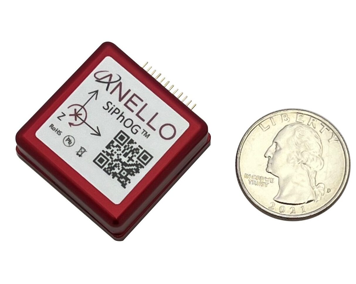
ANELLO Photonics’ core innovation is the SiPhOG™, short for Silicon Photonics Optical Gyroscope, a device that miniaturizes the physics and devices behind traditional fiber-optic gyroscopes and places them into a small silicon chip.
The result: a very high precision gyro the size of a coin, capable of guiding drones, autonomous vehicles, robots, and even boats for long stretches of time without any reliance on GPS.
“The key is, it’s not susceptible to vibration, not susceptible to temperature or electromagnetic interference,” Paniccia noted. “Yet still very precise. It has very high precision, can be produced in high volume, and can now be driven to the mass market.”
The technology was born out of a gap Paniccia and his team identified in the current landscape of navigation systems.
At one end, there are MEMS gyroscopes: tiny, cheap sensors inside phones, earbuds, and smartwatches. They’re compact and mass-produced but they lack the precision needed for autonomous navigation.
At the other end of the spectrum, there are strategic-grade gyroscopes like fiber-optic gyroscopes and ring laser gyro systems used in missiles, ICBMs, fighter jets, and submarines. These traditional gyros are big, bulky, expensive, and reserved for high-end applications.
“There’s nothing in the middle,” Paniccia said. “So we asked the question: can we create something new?”
He and his team believed the answer was yes — by applying decades of expertise in silicon photonics, honed during a long career at Intel, to the field of inertial navigation.
The result: SiPhOG, a device that delivers the precision of a fiber-optic gyroscope at a fraction of the size and cost.
How It Works: Photons in Motion
At the heart of the SiPhOG is the same principle behind traditional fiber-optic gyros: the Sagnac effect.
When light travels in opposite directions around a loop, any rotation of the device causes one path to be slightly shorter than the other.
When the two beams meet again, that small difference creates a phase shift — a measurable change that reveals how fast and in what direction the device is turning.
Paniccia’s team has taken this proven concept, used in fiber-optic gyroscopes, and integrated it into a single silicon chip.
Traditionally, this kind of system required long coils of optical fiber. But ANELLO’s new approach uses either a small coil or custom-built waveguides on the chip itself, dramatically reducing size and complexity — and opening the door to mass production.
“We put everything into this… less than an inch on a side, fits in the palm of your hand,” he said. The result is a gyroscope that measures phase signals down to 50 nanoradians, and results in bias drift of less than half a degree per hour.
ANELLO assembles these SiPhOGs into inertial navigation systems (INS) that also include accelerometers, magnetometers, GPS receivers, a CPU, and custom ANELLO AI-powered sensor fusion software. When combined, all of this results in a solution capable of guiding vehicles for 100 kilometers (62 miles) without any satellite or GPS input.
The AI software continuously evaluates the reliability of incoming GPS signals, deciding in real time when to trust them, when to rely solely on inertial data, and when the system may be spoofed.
Real-World Applications: From Orchards to War Zones
To illustrate how this works in practice, Paniccia described an agricultural use case: autonomous tractors used for spraying navigating rows of trees in a California orchard. In the fall, as leaves grow denser, GPS signals begin to degrade.
“It becomes a tunnel,” he explained. “Water absorbs the GPS signal, and dense canopy causes signal blockage or multipath interference from GPS signals bouncing off trees.”
ANELLO’s system detects that degradation and gradually shifts the system over to inertial data and the optical gyro, allowing the tractor to keep moving in a straight line without GPS.
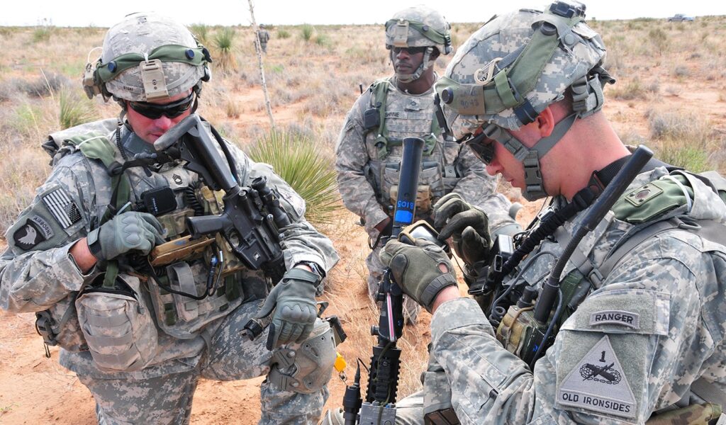
But the same challenge appears in far more hostile terrain. In defense settings, like the war in Ukraine where GPS jamming and spoofing are routine, ANELLO’s systems allow for drones or land vehicles to operate for 30 to 60 minutes with no GPS at all, while maintaining positional accuracy within 1 percent.
At jamming events hosted by the Department of Defense, ANELLO demonstrated the system’s ability to detect and resist spoofing attacks in real time.
“In spoofing, you still get GPS, but how do you know it’s good or bad?” Paniccia said. “We compare our real-time position to what GPS says, and if it shifts or is different (let’s say it moves a kilometer in 10 milliseconds), we say, ‘Physically impossible. You’re being spoofed.’”
The SiPhOG technology has since been deployed on land, air, and maritime platforms.
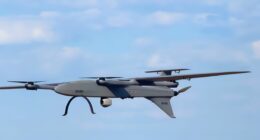
In the air, it’s helping drones maintain flight paths when satellite signals vanish.
On the sea, it’s been tested by US Navy-affiliated units in the Middle East, where vessels near adversarial territories routinely face jamming and spoofing. Paniccia said sailors using conventional GPS on their phones saw themselves suddenly teleported to a far away airport. The ANELLO system, however, detected the spoofing and held its course.

Built in the US, Designed for Scale
From a business standpoint, Paniccia emphasized that everything is US-based, including fabrication and assembly, a strategic choice as the company expands in defense.
“All our employees are US citizens or green card holders. This was a key decision we made a couple of years ago, and it’s proven to be a good one as we expand our defense business,” he said.
ANELLO operates as a dual-use company, selling to both industrial and defense markets. The same units that are guiding drones through jammed battlefields are also used in agriculture, construction, and even underground mining. “Think about construction vehicles going into a mine. They lose GPS,” Paniccia said.
The scalability of the product, both in volume and application, is part of what makes ANELLO unique. Built using existing semiconductor manufacturing techniques, the SiPhOG system is designed to be mass-produced at low cost, unlocking markets that were previously off-limits to high-precision navigation due to the existing size, weight, power, and cost of traditional solutions.
AI as the Hidden Engine
Beyond the chip, what makes the system resilient is its software. ANELLO’s custom sensor fusion and decision-making algorithms are central to how the device knows when to trust GPS and when to disregard it. These algorithms take in inputs from multiple sensors and evaluate position, heading, velocity, and drift every 10 milliseconds.
“Every time we take a new use case, every time we learn something, we put that into the system in real time,” Paniccia said. “The AI software and algorithms are just as important as the SiPhOG.”
The AI layer also makes the device flexible: it can be retrofitted into existing vehicles in 20 minutes, Paniccia claimed, and integrates with common interfaces, making it easy to incorporate into any navigation solution or platform. That’s part of the company’s vision: to offer a “plug-and-play” upgrade for GPS-reliant systems in both civilian and defense settings.
The Road Ahead: Smaller, Cheaper, Smarter
ANELLO’s current roadmap points toward even smaller devices with tighter integration. The long-term goal is to put the gyroscope, laser, electronics, and signal processing all onto a single chip, driving down cost and size while maintaining or improving performance. “Eventually,” Paniccia said, “this could go into your phone.”
While that may be years away, the broader trend is clear: as more autonomous systems take to the roads, skies, and oceans, the need for reliable, self-contained navigation will only grow.
“We’ve built the entire infrastructure on GPS. But now people are realizing: it can be jammed. It can be spoofed. It might not be there,” Paniccia said. “What do we do then?”
His answer is ANELLO and SiPhOG. And for a growing number of partners across agriculture, robotics, construction, aerospace, maritime (both above and below water), as well as defense and national security, that answer is starting to look like a new standard for navigation.