Defense contractor Anduril has unveiled an artificial intelligence (AI)-based, mobile undersea sensing technology designed to deliver critical subsea information in real time.
The Seabed Sentry intends to overcome the limitations of current autonomous subsea sensing systems, which typically operate in silos and are comparatively slow and expensive.
The ocean’s vastness and opaqueness make real-time data transmission challenging for existing sensing platforms, especially without substantial undersea infrastructure investment.
With Seabed Sentry, however, Anduril addresses these limitations, “enabling maritime awareness and kill chains in ways not currently possible without high expense.”
Supports Defense, Commercial Missions
Seabed Sentry allows operators to quickly sense, analyze, and respond to critical information in real time, all at a fraction of the cost of legacy systems.
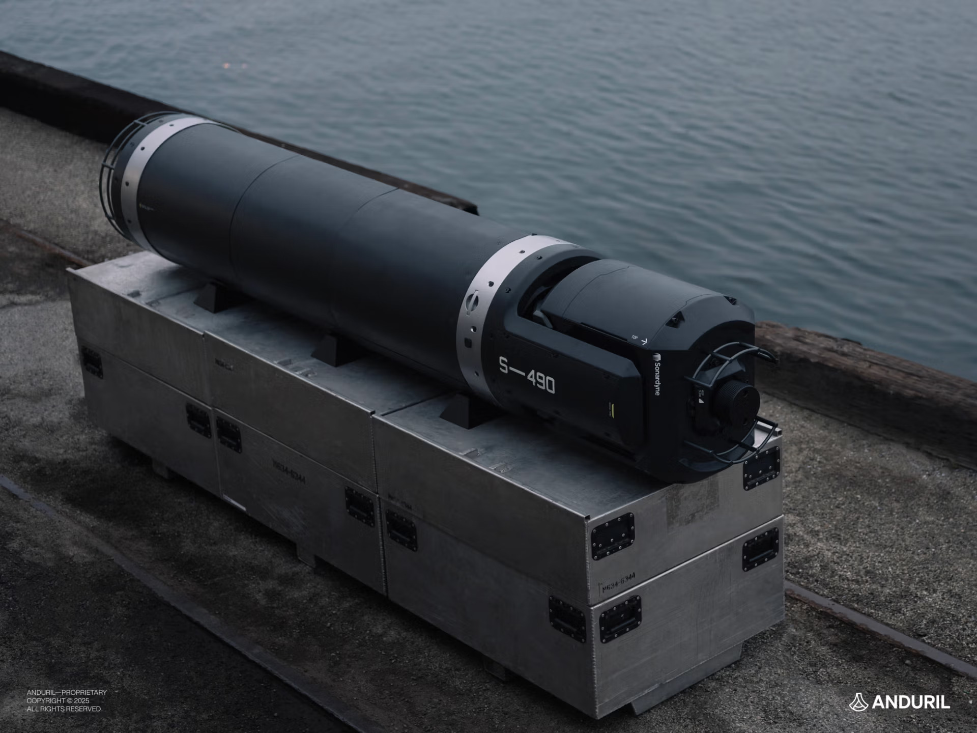
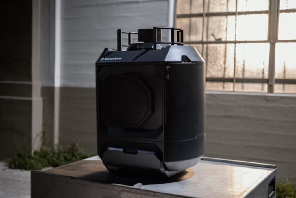
It is a networked system designed to operate at depths exceeding 500 meters (1,640 feet) and has an endurance of years.
The system supports a range of defense and commercial payloads to perform missions such as anti-submarine warfare, anti-surface warfare, seabed surveys, and marine pattern-of-life analysis.
Features Lattice Software, Sea Spear Sonar
Seabed Sentry is powered by Lattice AI software, which collects data from various sensors and unifies it into a single integration layer.
Additionally, it leverages Ultra Maritime’s Sea Spear sonar system for improved submarine detection.
Housed in an autonomous underwater vehicle, the Seabed Sentry can be deployed within a defense grid to support key maritime regions and infrastructure.
It is currently integrated with Anduril’s Dive family of large and extra-large autonomous submarines.